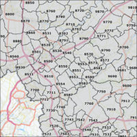
Residential areas of the Netherlands

75,00 excl. VAT

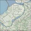
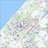
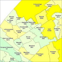
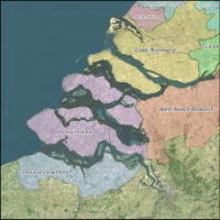
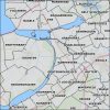
This is the digital map with the residences of the Netherlands. The map corresponds to the situation on 1 January 2017. The boundaries of the residences are linked to the municipal boundaries and postalcode maps of 2017.

Category:

Description

Residential areas of the Netherlands

The residential areas of The Netherlands has the following features:

  • Digital boundaries of 2.464 residential area’s in the Netherlands.
  • Vintage: January 2017.
  • A unique postal code has been assigned to each town, so that a name of a town can lead to a zip code.

Read more about Maps of the Netherlands on the First Element website. Also take a look at the other maps & data we offer.

Additional information

Country

The Netherlands

Map Type

Residential

Format

Shape, MapInfo

Projection

RDM (Netherlands National System)

0
    0
    Uw winkelwagen
    Your cart is emptyReturn to Shop