Residential areas of the Netherlands with the population and addresses

395,00 excl. VAT

This is the digital map with the residences of the Netherlands. The map corresponds to the situation on 1 January 2019. The adminstration of the 2501 residential areas, population numbers and number of addresses are also in Excel (CSV) format.

Category:

Description

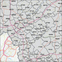
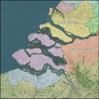
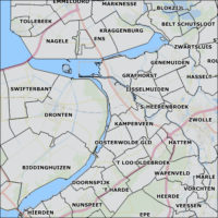
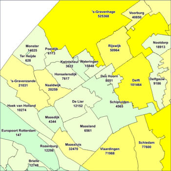
Residential area maps of the Netherlands

Boundaries of residential area maps of the Netherlands. Completed with the number of addresses and population for every area.

Features:

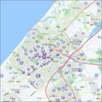
Residential Geographic

  • Source: BAG
  • Year: 2020
  • Amount: 2500

Population

  • Source: CBS
  • Year: 2019

Addresses

  • Source: BAG
  • Year: 2019

Geography

  • projection WGS84
  • MapInfo tab
  • ERSI shp

Read more about Maps of the Netherlands on the First Element website. Also take a look at our maps & data offering.

Additional information

Country

The Netherlands

Map Type

Residential areas including population amount

Format

Shape, MapInfo, CSV

Projection

RDM (Netherlands national system)

0
    0
    Uw winkelwagen
    Your cart is emptyReturn to Shop