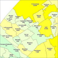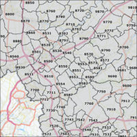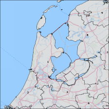


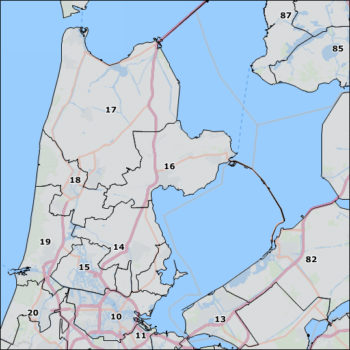

Description
Postal code map of The Netherlands
The postal code 4 map of The Netherlands has the following features:
- 4-digit postal code map of the Netherlands with 4,076 postcode areas.
- The vintage is January 2024.
- Annual updates appear in April.
- By default the map is delivered in Shape (SHP), Google Earth (KML) and MapInfo (TAB) format.
- The delivered projection is WGS84.
- The license is for 1 user on 1 system.
Read more about postal code maps on the website of First Element. See also other Data & Maps.