

Description
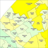
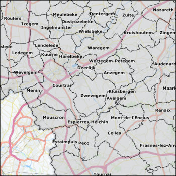
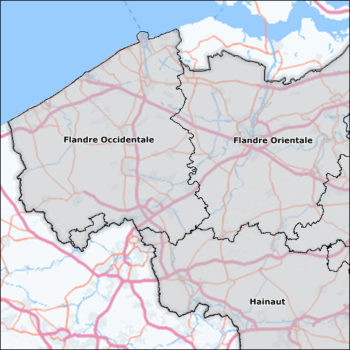
Municipality map of Belgium
The municipality map of Belgium with 589 areas. In this set the maps of Districts, Regions and Provinces are included.
Year: 2014
The license is for 1 user, on 1 system.
Download here the product information: MBI_Digital_Boundaries_Product_Description
By ordering this product, you accept our licence agreement and conditions.